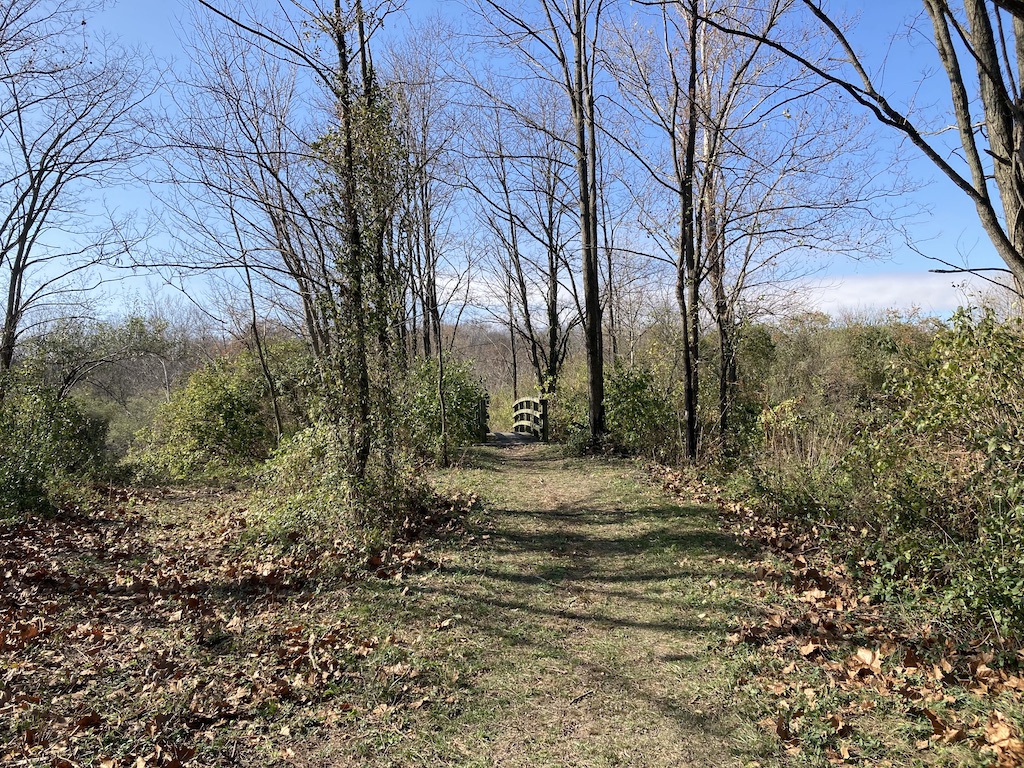
I’ve always avoided this series of trails, since they warn hikers that they are rugged. Turns out, that means they have a few mild hills. Illinois. Where it’s either flat, or “difficult.” I rather was transported for an afternoon out of Illinois, and reminded of those favorite Virginia hikes I used to do in the Blue Ridge. God, how I miss them!
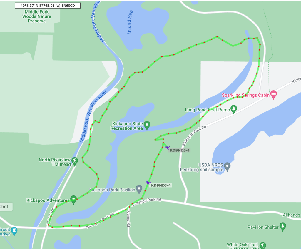
The following is as good as I can do given a 40 minute drive and a nice, warm, late fall day. This will be the last warm day in a while, I’m guessing. We’re about to dip into the 30s by day and the 20s overnight. So this pictorial shares the time with you.
Anyway, I’ll go for it…
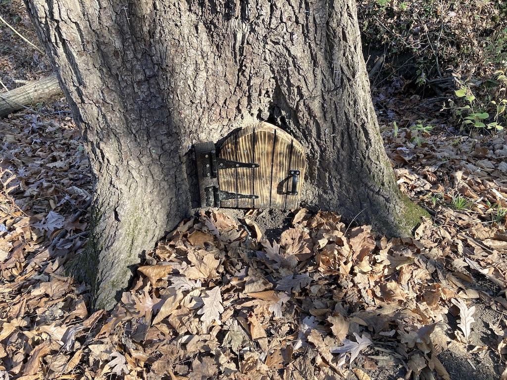
So, you’re hiking along and you come to this. What could it be? Let’s open the little door and find out. The heart of a sacrificial lamb?
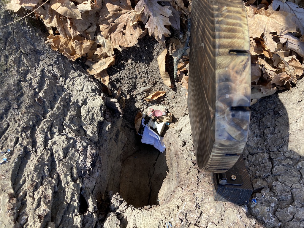
Something like that. Some incense and an incense burner. I don’t know what religion this might be.
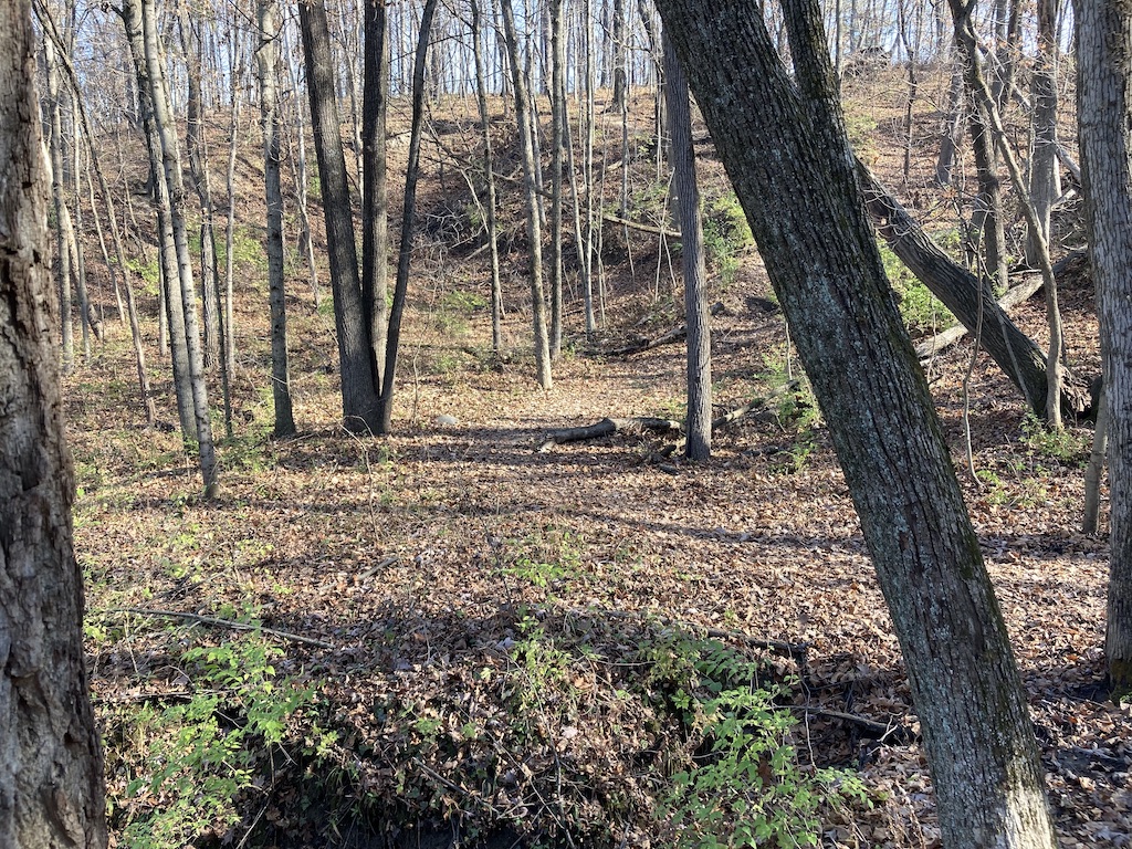

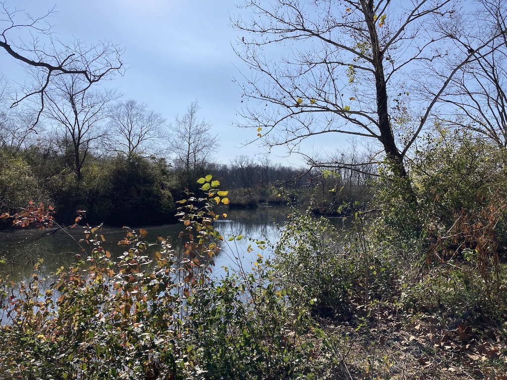
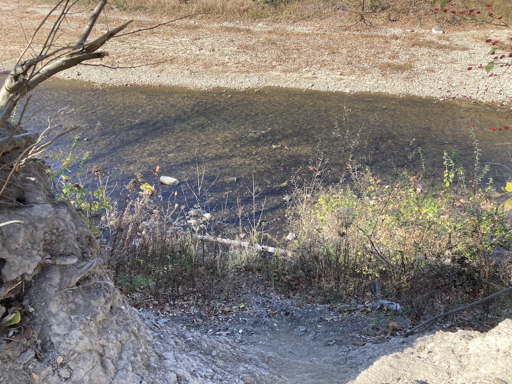
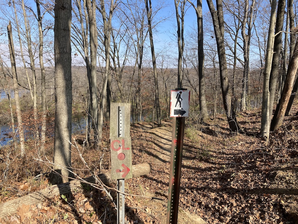
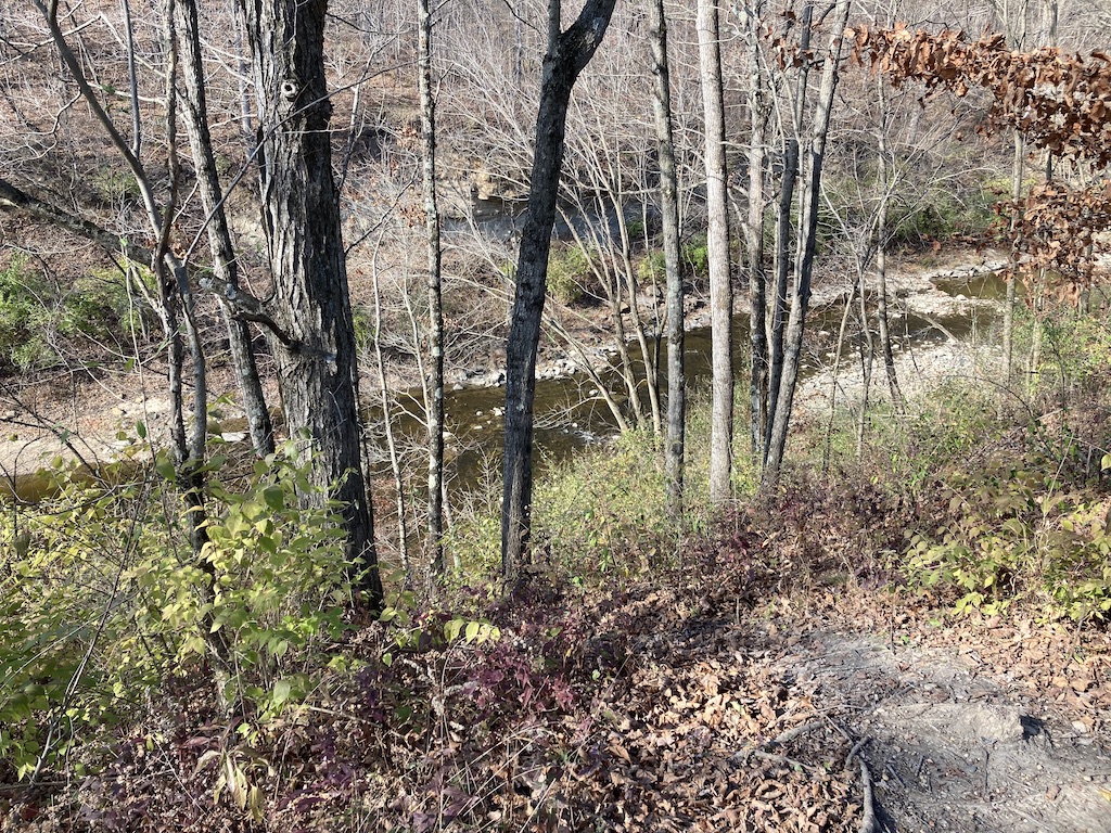
Oddly enough, the river view trail does not afford a simple view of the river. One has to climb an embankment to see it. Climb it, I did. Here it is.
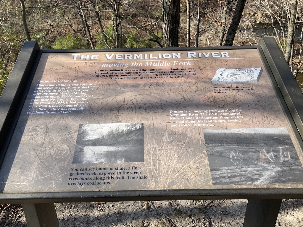
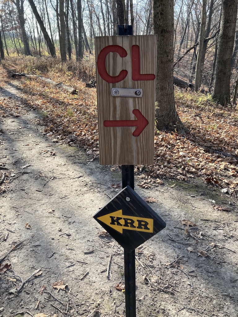
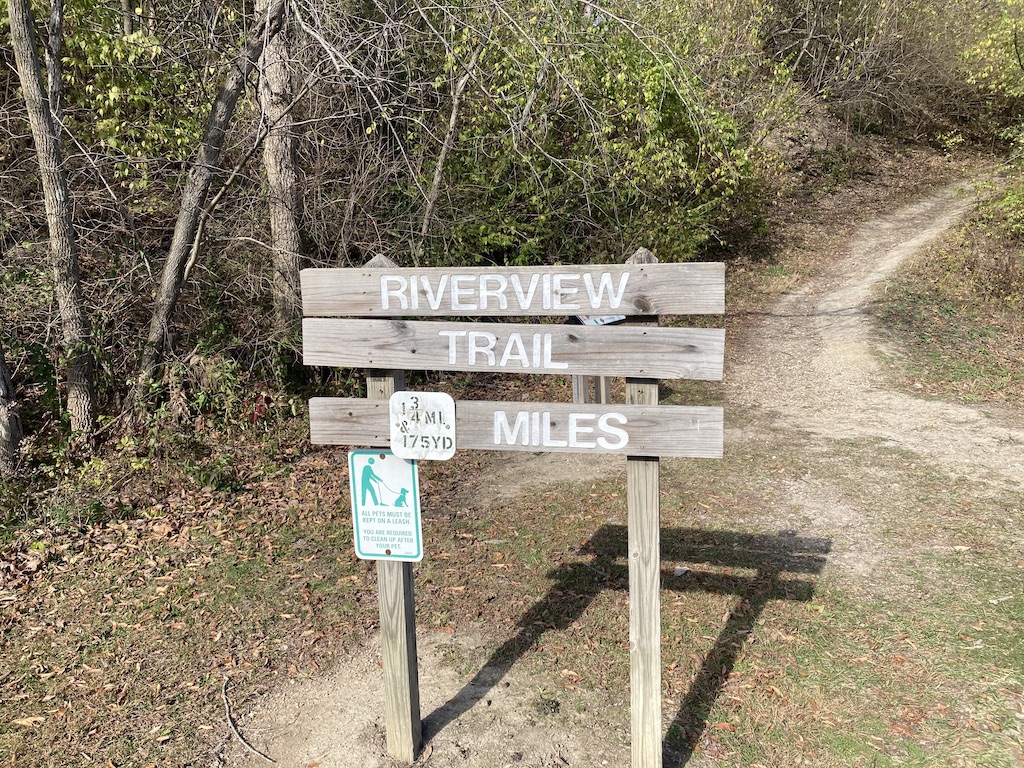
And of course… there’s some signage sporting the requisite graffiti. And behind the sign…
Yeah. Well, I hiked it backwards, having started on CL. Now, I had to hike along the roadway back to my car.