a mostly pictorial essay
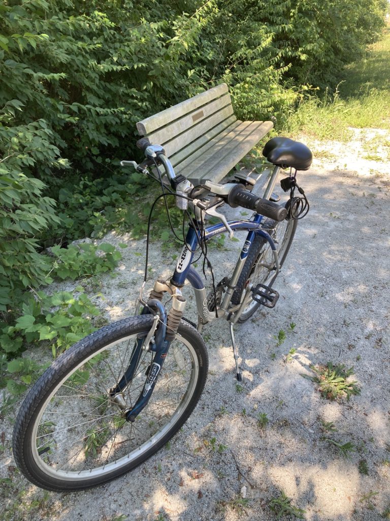
A fine summer morning. I strapped the Schwinn Landmark to the truck and drove down to the Walmart parking lot on Highcross Road. I unstrapped the bike, got all slathered up with SP 70 sunscreen, took a sip from my water bottle (had been in freezer overnight, and had thawed enough for a sip), and straddled the bike. The plan was to stop for photo taking and what follows here is the result. And thoughts. Maybe a prayer. It was a hot one; a ‘scorcher,’ as we used to say back east…
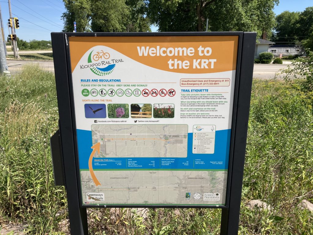
The 1st stop was to photograph the trail sign at the beginning. See arrow. U R Here. U are going there…
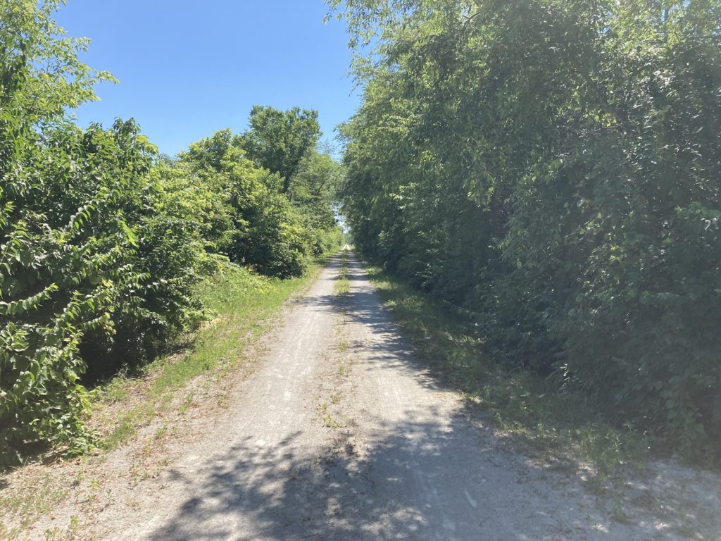
I rode a short while to get a feel for the fine gravel surface, the effort required, the state of the bike and my body. But bye and bye there was another sign. I took that opportunity to hop off and snap the path ahead…
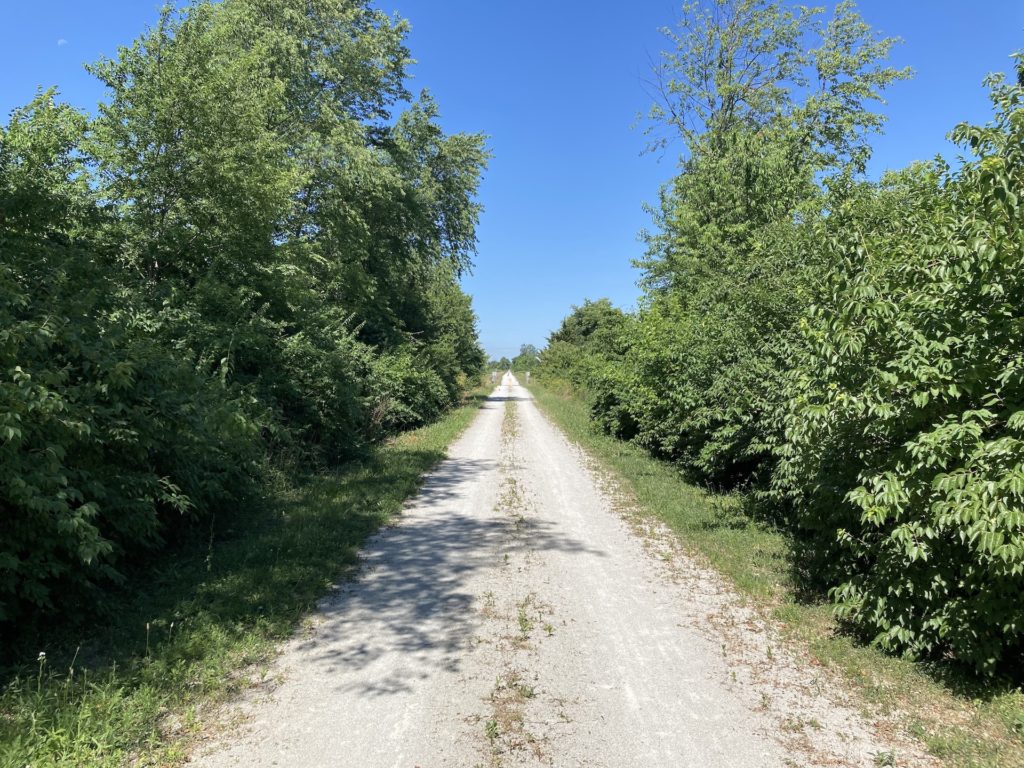
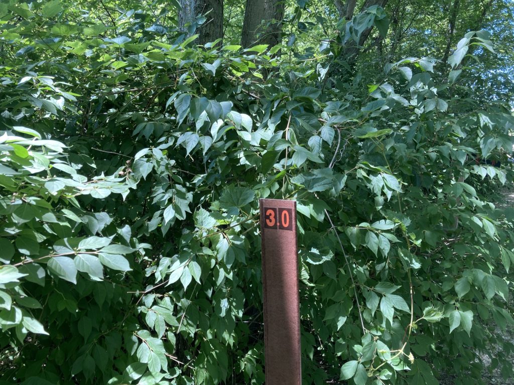
Hopped back on and had not ridden far… I passed the mile marker that was labeled ‘point 5’ … when I figured out that tree cover was going to be infrequent. So I stopped and snapped these at another one of the periodic benches…
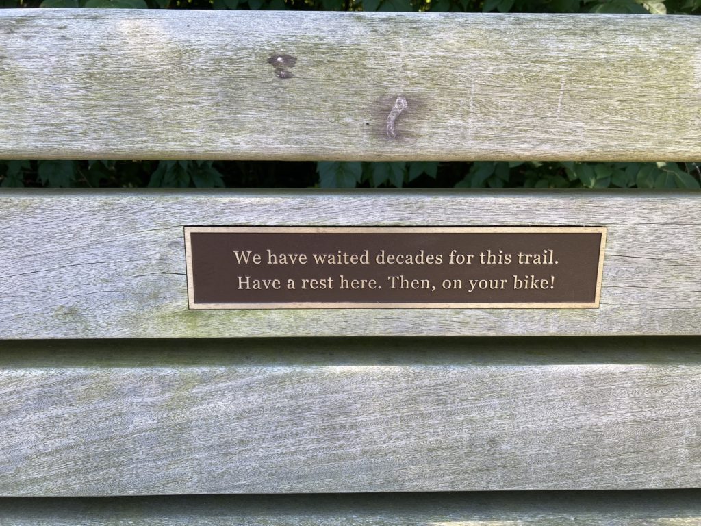
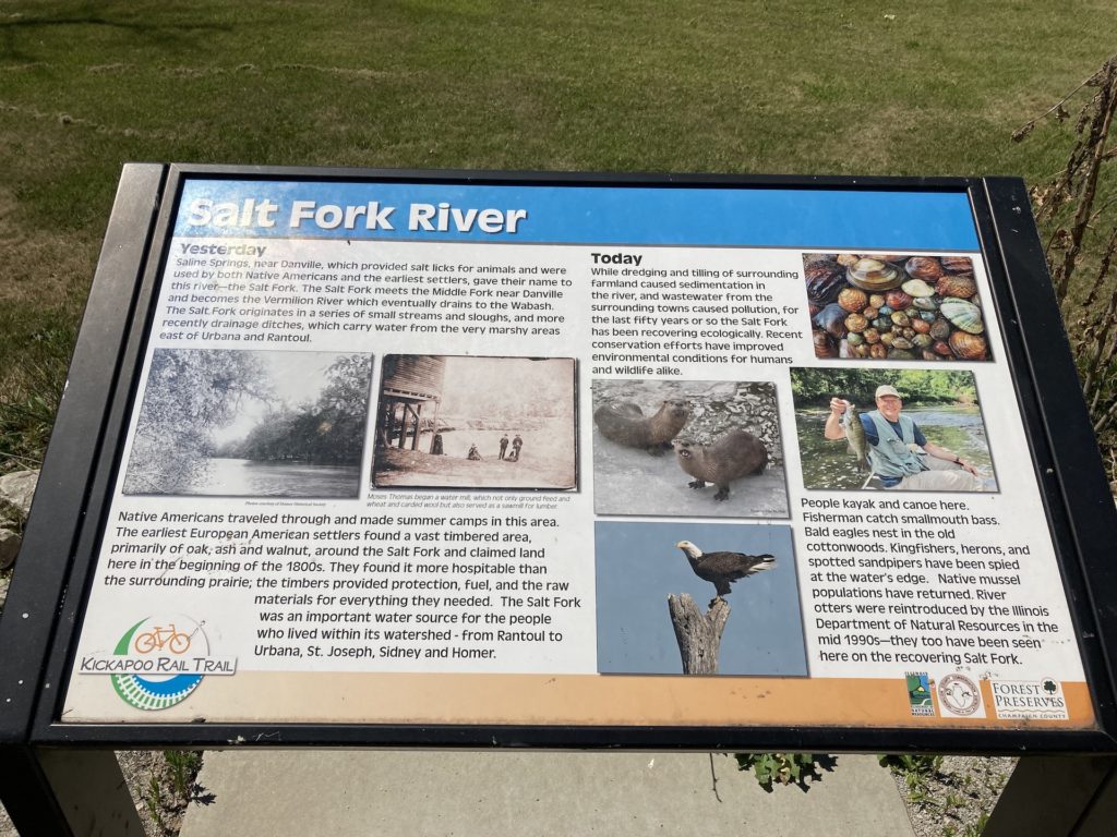
They are, in fact, not done waiting. The Kickapoo rail trail could one day go all the way to Kickapoo, but at present ends after 7.x miles, in Saint Joseph. It’s another 16 miles or so to Kickapoo. There is an eastern segment of the trail that goes from Oakwood to the state park… so. This, therefore, is only Part 1… And the little placard suggests the struggle involved with getting monies and governments together for public works. That has only deteriorated since this section of the grand plan was completed.
On to the next stop…
Rest on. But there is no rest for the wicked. Back on the bike.
Who knew they were made in factories?
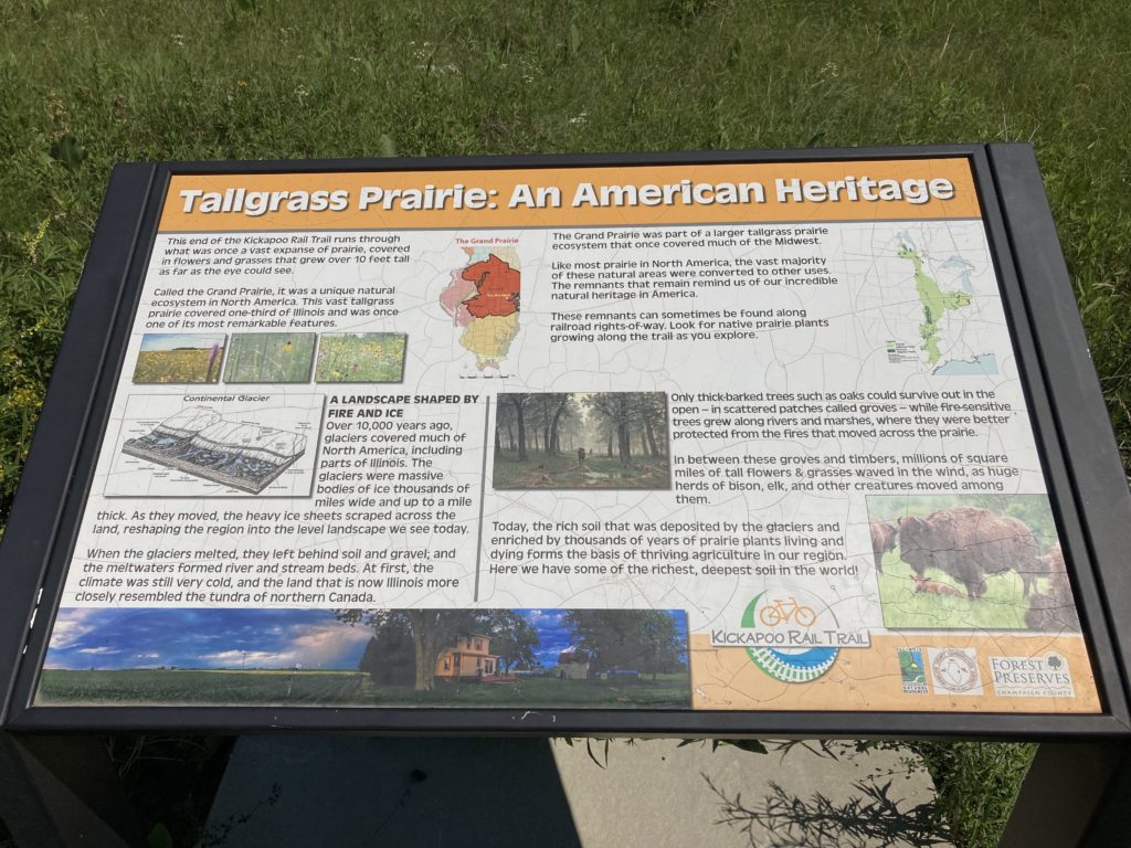
A similar, more dramatic view of the glaciation phenomenon is viewable up the road a piece at Moraine View state park… where the biking is also pretty good. Maybe later…
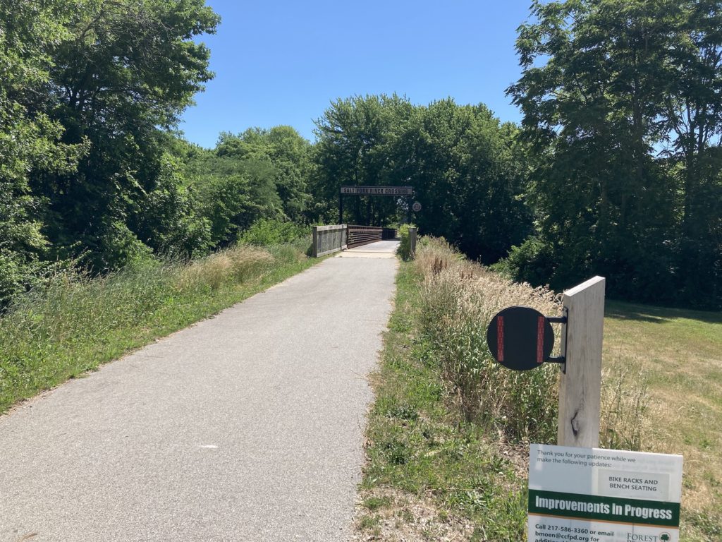
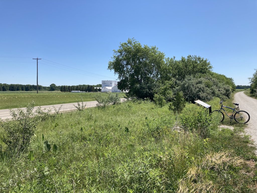
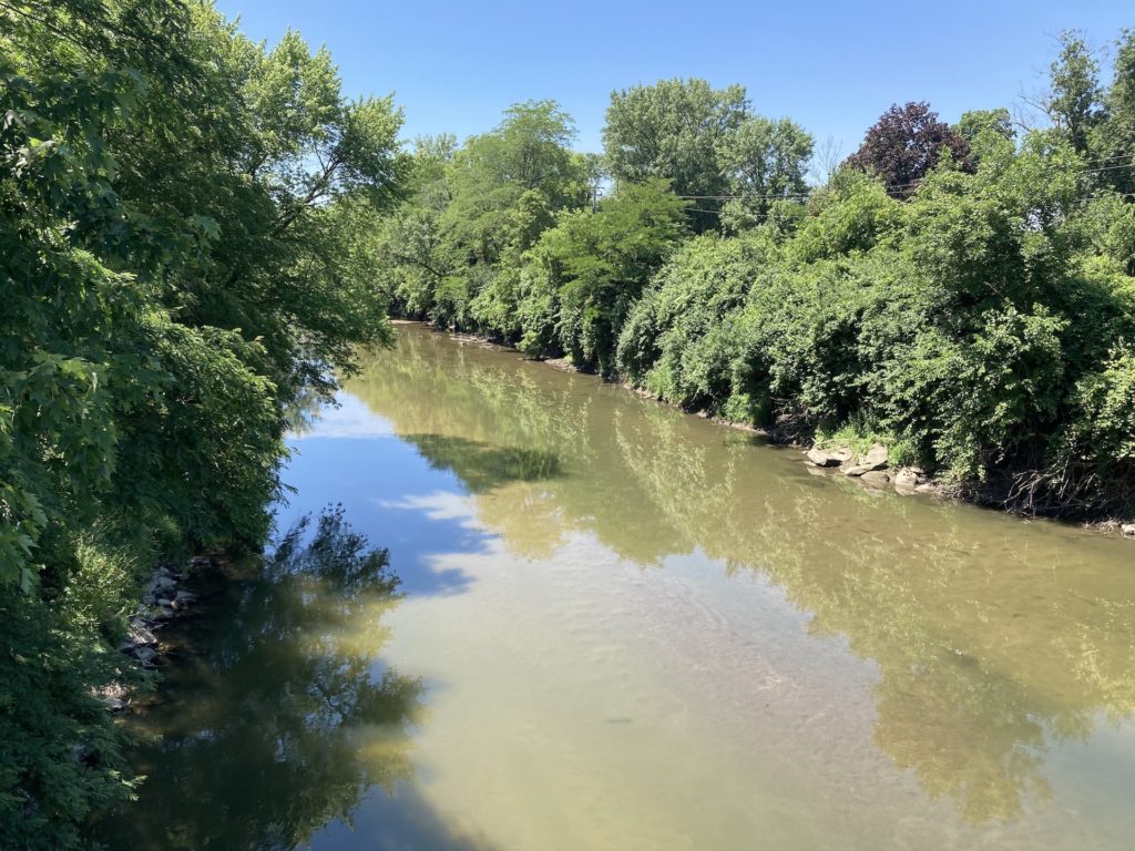
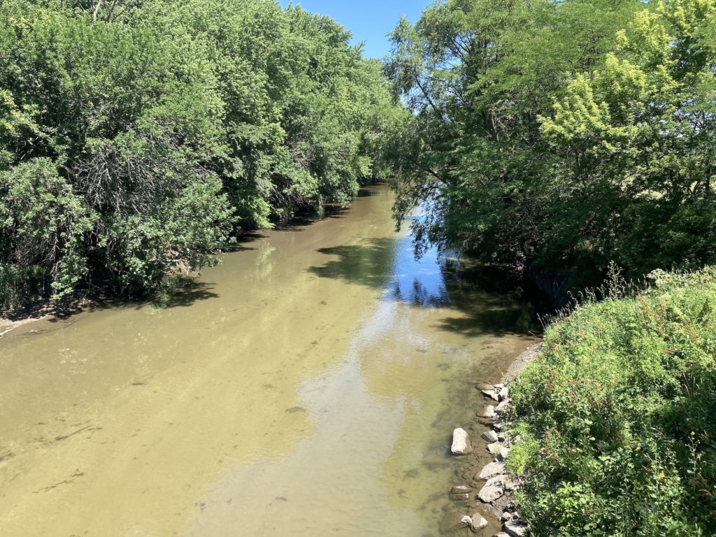
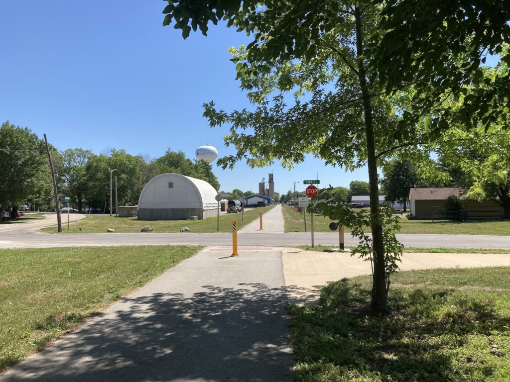
A fairly long spell of riding got done between the seed factory and the river. It is a long stretch without tree cover or benches. Of mild psychological interest is that phenomenon of perception when one is expecting a long duration of similar experience. Then, one is all the more surprised when there is a change, something new. Thus, I came upon the river. I had just passed the 5 mile marker, when I rode up to this. Note the sign about ‘improvements.’ The post has some sort of velcro or two-sided tape that suggests the disks will hold some sort of variable indicators of something. There were, annoyingly, people driving work trucks on the path. Improvers, no doubt. The number of other riders or walkers could be counted on the fingers of one hand. They represented the general types: old men on bikes (like me), couples on bikes, single females on bikes not willing to wave, or so much as acknowledge ones presence, single females on foot, tanned and grinning and waving, and single males on foot, swinging lanyards and willing to put up a finger.
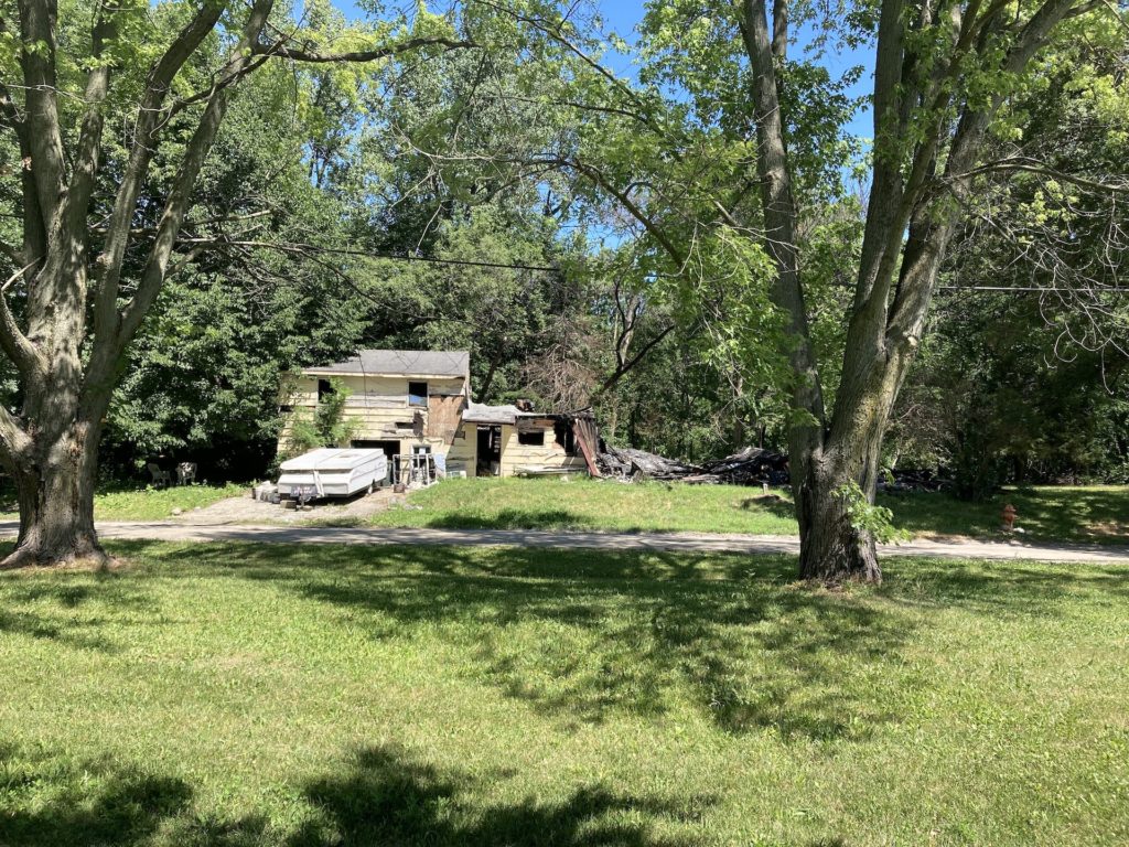
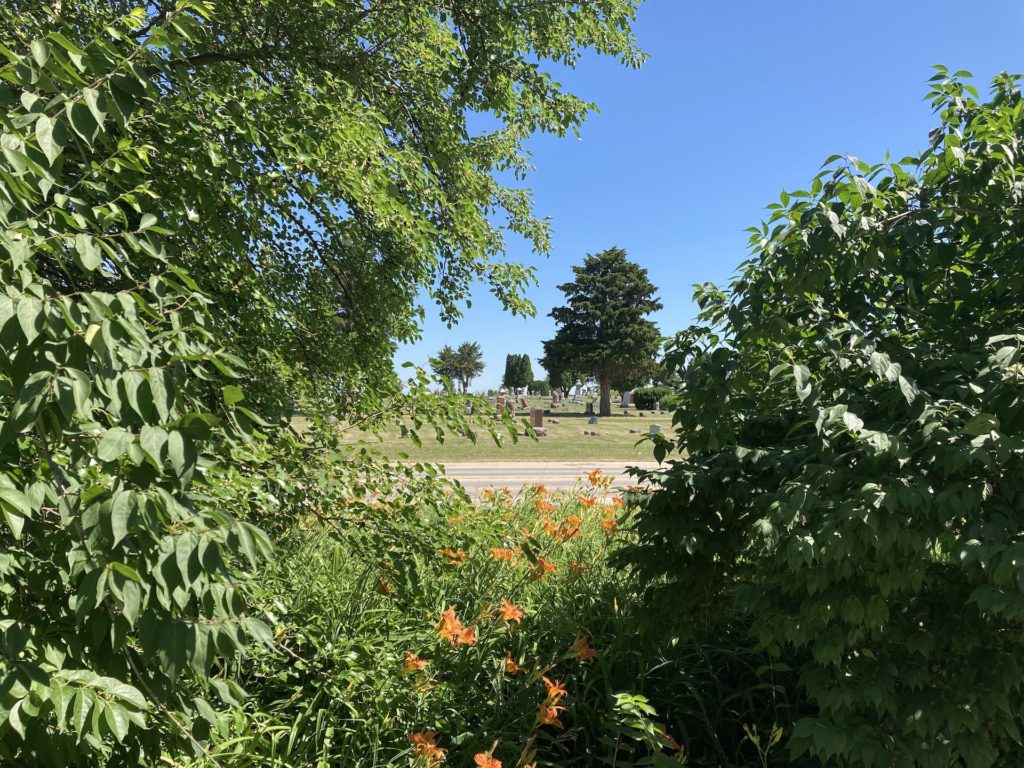
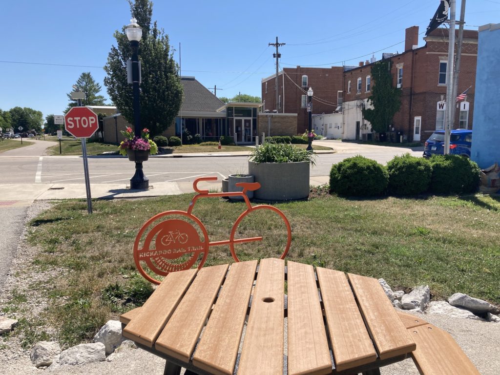
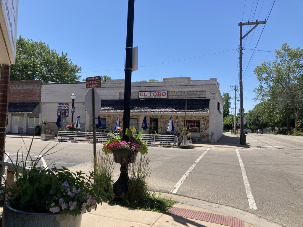
So sayeth the sign propped up in front of the pop up trailer. I think we saw news of this fire awhile back. The sense of humor in the face of calamity was worth a photo. This is the outskirts of the small town of Saint Joseph. Del and I used to bop over to this town for antiques and breakfast at the Mexican place, also pictured momentarily. When I was first diagnosed with diabetes, thus ending my lifetime of not seeing doctors and ignoring my health, I came to a doctor over here in St. Jo. There is not much to it. A post office, and IGA, a church or two, etc., etc., and, currently, the eastern most terminus of the rail trail to Kickapoo from Urbana.
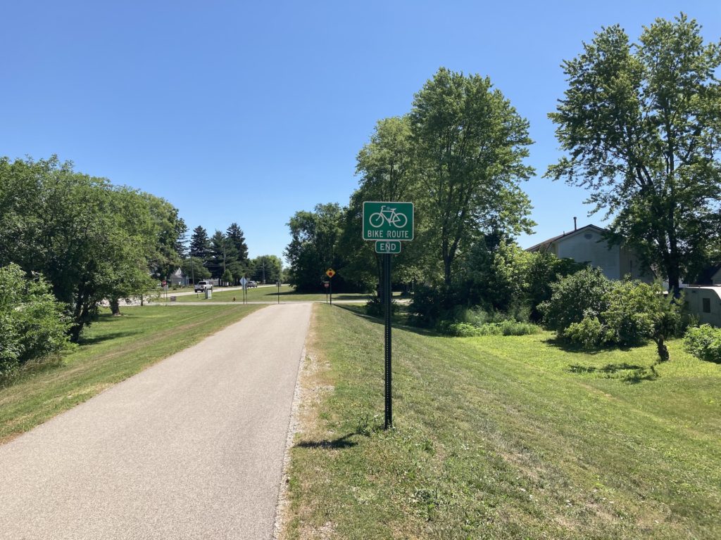
Back on the bike, there was not much left of the trail. The only way to go was back.
The way back, with one exception, was the zen of riding a bike and nothing more. I had thought I’d have thoughts, and I’d report them if they occurred. But there were non. It was just me riding back, weary of the adventure, aware that the benches were sparse where the sun was overhead and there were no trees to block it. I went slower, stoped to sip my water, still ice cold. I took this one last photo:
And here’s the APRS map, captured by the beacon on my phone, pinging away in my pouch, slung against my back with my bike keys, my car keys, and the water bottle…
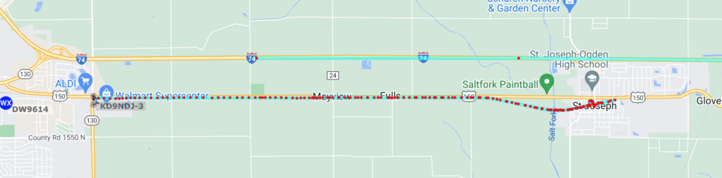
My blue-green line is below, with the many beacon points. Above, another amateur radio operator is sending beacons in the same time space, moving in a car on I-74 at a good clip.
Stay tuned for Part 2.
Nice ride. The Schwinn looks like a fine ride. Biggest supple tires that fit, then play with pressure. Then fuck with the gearing. There are articles from the late Sheldon brown (one of my gurus) about using slide rules to calculate gear inches and usefull ratios. I bet you never use your tallest gear. Swap chainrings and freewheels or go whole hog and and rebuild with individual cogs. I am a geek.
I mostly use my tallest gear. I have a favorite pressure, but I’m up for more experimentation. I wouldn’t mind modding the Free Spirit all to hell, but I’m pretty happy with the Schwinn for knocking around on unfamiliar terrain, such as these rail trails. If I do it again, and I will, I’ll ride something else. I have four bikes on hand. I might be a nascent geek.
Nascent? Too late. If you’re mostly up top, you could play with closer ratios below that. Sooner or later you will have to battle into a headwind out in the flats. Or an emergency “granny” gear. (Love that term, you want 20 to 30 gear inches in your back pocket.